
K'gari at a glance
K'gari, formerly known as Fraser Island, lies off the Queensland coast about 300 km north of Brisbane. It is the traditional home of the Butchulla people and the largest sand island in the world. UNESCO listed it as a World Heritage site in 1992.
The list below is an editorial selection, not an official ranking. Most sights sit on sand tracks or on the beach, so you either need a high-clearance 4WD with low range or a seat on a guided tour. Check the current park alerts before every trip, because tracks, boardwalks and camps close from time to time.
Lakes, creek and coast: highlights 1 to 6
The classic east coast and lake circuit.
1. Lake McKenzie (Boorangoora)
A freshwater lake in a dune hollow, reached on short paths from fenced picnic areas. It is 8.7 km north of Central Station and 25.2 km west of the east coast beach via Cornwells Road. The track needs a high-clearance 4WD with low range. The busiest hours are 10:30 to 15:00, so arrive early or late. Food and drinks other than water are not allowed at the water's edge.
Lake McKenzie guide →2. Lake Wabby
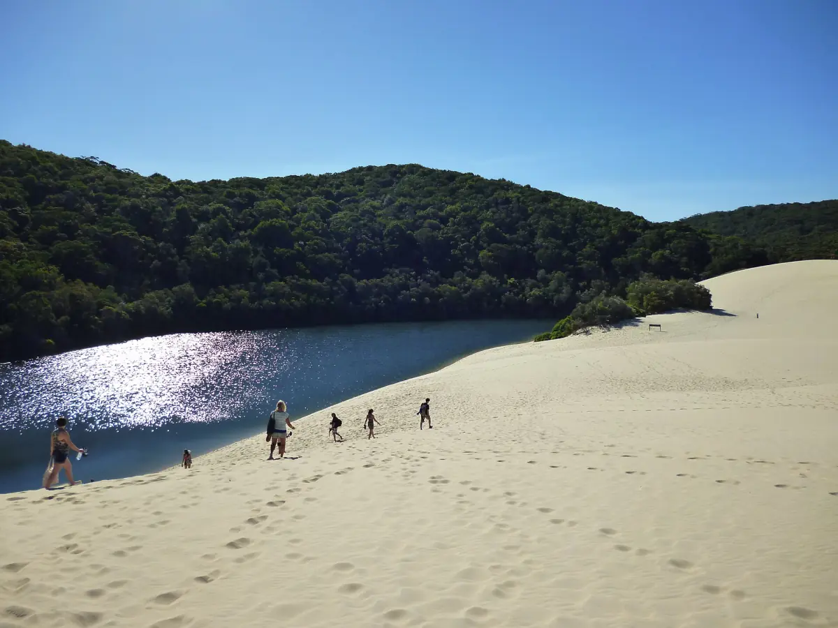
A lake held back by a moving sand dune. The Hammerstone Sand Blow slowly fills it, and QPWS gives its depth as 11 m. Walks range from 900 m return to the lookout to a 4.8 km circuit from the beach access, depending on where you start. Do not dive, jump or slide down the dune into the lake. Spinal injuries have happened here.
Lake Wabby guide →3. 75 Mile Beach
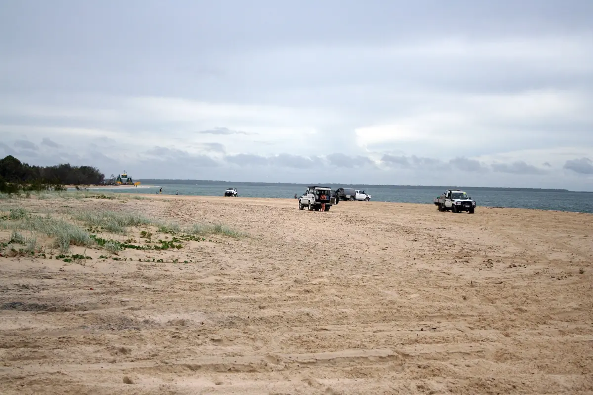
The east coast beach is a public road. Queensland road rules apply, the usual limit is 80 km/h, and aircraft use marked landing areas. Plan beach driving around low tide and watch for pedestrians. It is not a quiet swimming beach.
75 Mile Beach guide →4. Eli Creek
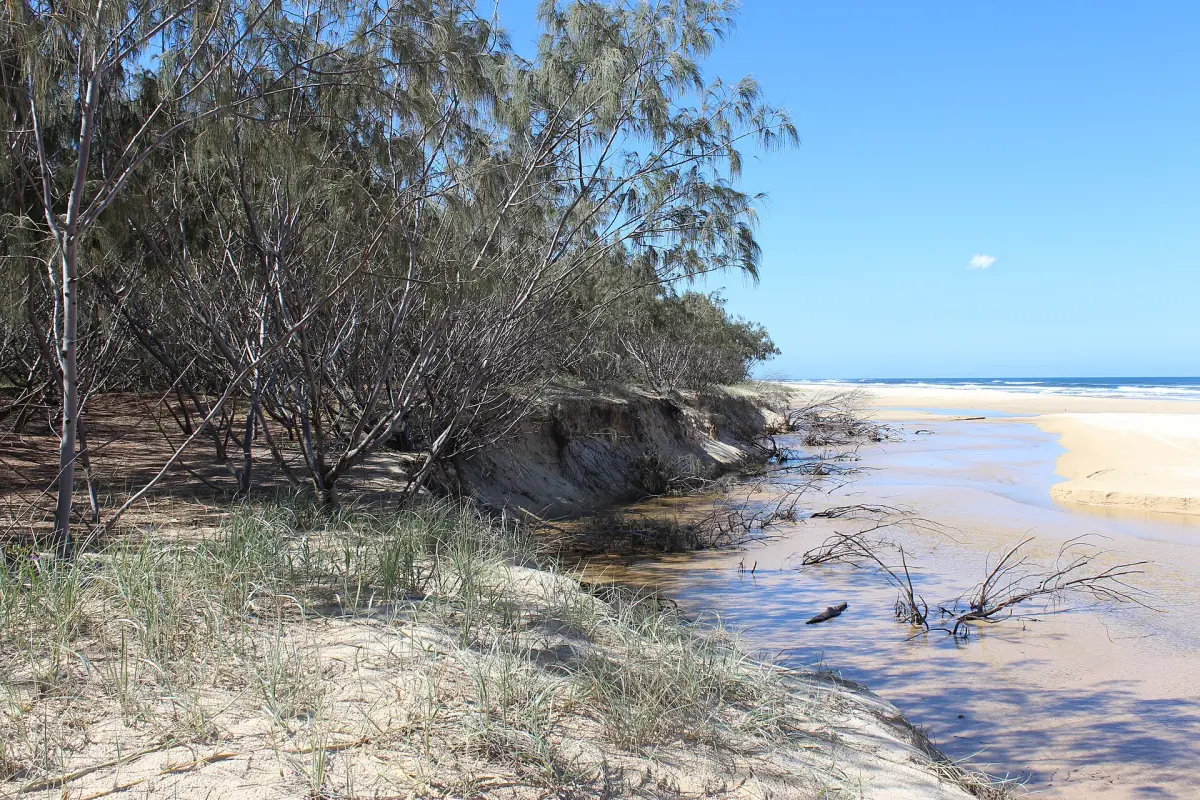
A freshwater creek with a 400 m return boardwalk, about 30 minutes. Walk up to the entry point, step in carefully and drift back downstream. The park service gives the flow as 80 million litres a day. Stay out from under the unstable sand cliffs.
Eli Creek guide →5. Maheno shipwreck
The Maheno was a New Zealand hospital ship in the First World War. It ran aground on the east coast in 1935 and was later used for military practice. Stay at least 3 m away, never climb on it, and keep children close because the beach around it is a 40 km/h pedestrian zone.
Maheno guide →6. Champagne Pools
Rock pools at sea level, reached by a 700 m return boardwalk of about 30 minutes. The pools fizz at mid tide, and the steep, slippery steps down to the beach are used at low tide. The scenic drive is open only within 2 hours either side of low tide. Swim only when conditions are safe.
Champagne Pools guide →Our picks: things to do
A cultural tour with Butchulla guides, a beach cruise and whale watching.
Hand-picked tours, booked through GetYourGuide. Prices are indicative starting prices in Australian dollars (as of October 2026). Tap a tour for live availability and the current price in your currency.
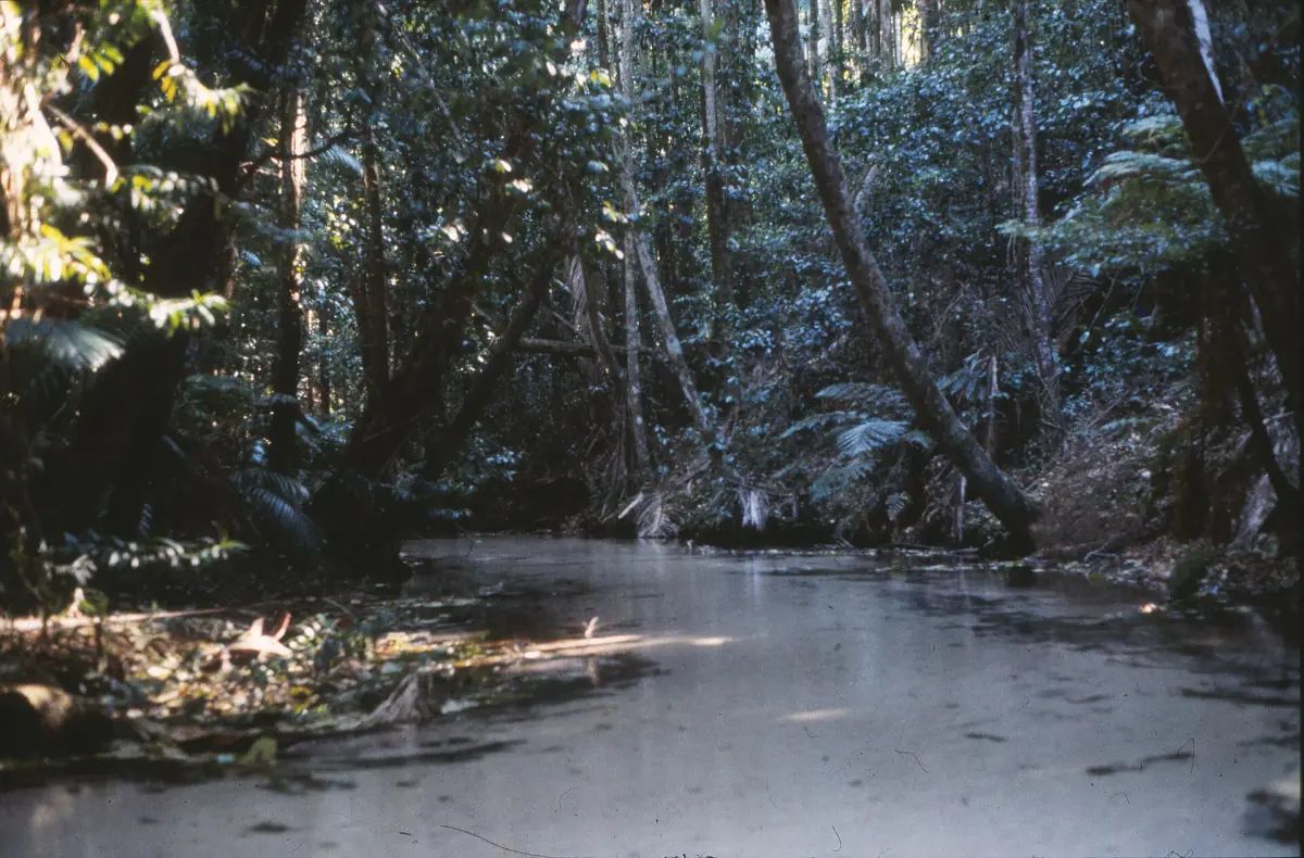
Full-day cultural tour with Butchulla guides
Guided in a 4WD bus on K'gari, with return ferry, morning tea and lunch included. You meet at River Heads.
Check availability →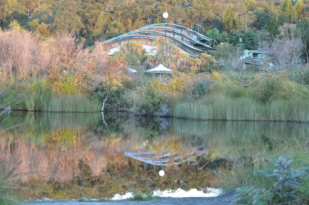
Half-day beach cruise to K'gari
Morning tea, a BBQ lunch, kayaks, snorkelling gear and tube rides are included, and there is no separate ferry.
Check availability →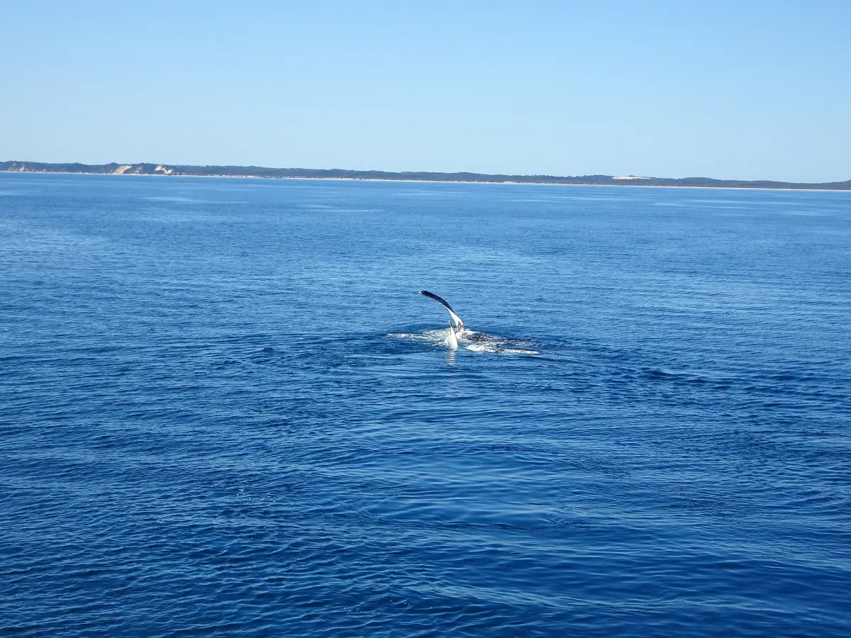
Three-hour whale watching cruise with marine scientists
A seasonal cruise with marine scientists on board, hydrophones, a snack and soft drinks. You make your own way to the marina.
Check availability →K'gari tours and day trips
Guided 4WD bus days from Hervey Bay and Rainbow Beach, multi-day trips and more, with live prices and availability.
Rainforest, walks and landmarks: highlights 7 to 12
The inland side of the island.
7. Central Station
A day-use area in the rainforest at the upper Wanggoolba Creek. It is 9.4 km from Eurong and 800 m from the Central Station camping area. Parts of the Wanggoolba Creek boardwalk are closed in 2026, but the west section can be walked out and back.
8. Pile Valley
Tall rainforest with K'gari satinay trees. The circuit is 4 km and takes about 2 hours, and it starts from the Central Station day-use area over the Wanggoolba boardwalk. It stays open while the creek boardwalk is partly closed.
9. Basin Lake
A walk from Central Station of 5.6 km return, about 3 hours. The first part is a steep climb, so allow extra time and bring water.
10. The Pinnacles
Coloured sand formations. The colours come from iron-rich minerals, and erosion exposes the older sand layers. Check the current access conditions before you head out.
11. Lake Boomanjin
QPWS describes it as the largest perched lake in the world, covering 200 ha. A fenced campground sits at the lake.
Camping guide →12. Tukkee Wurroo (Indian Head)
The headland is a landmark on the east coast, but its walking track is closed because of severe erosion, with the alert running to 18 November 2026. Do not climb it, and do not count on a reopening date.
Plan around the highlights
Four things decide how your days on the island go.
Tide and track conditions
Beach driving is recommended from 2 hours before to 2 hours after low tide. Avoid the 2 hours either side of high tide, and avoid driving at night. Surf and local closures can make even the low tide window impassable.
4WD guide →What costs money
Costs come from the vehicle access permit, camping, the ferry and any tour you book. Camping is A$7.75 per person per night from 1 July 2026. Ferry prices differ by crossing.
Ferry guide →Dingoes (wongari)
Keep at least 20 m away, never feed or approach them, and secure food and rubbish. Feeding or disturbing a dingo carries an on-the-spot fine of A$2,763 in 2026. From 1 September to 30 November 2026 young dingoes are out on tracks and beaches, so drive slowly.
Dingo safety →Swimming
The park service advises against ocean swimming because of unpatrolled beaches, strong currents, sharks and marine stingers. The freshwater lakes and Eli Creek are the usual places to swim, with the dune and diving warnings above.
Weather by month →Plan the rest of your trip
Getting there, staying and staying safe.
4WD and permits
Vehicle, permit, tides and driving rules.
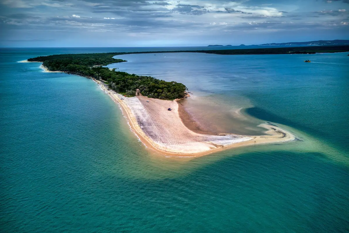
Ferries to K'gari
River Heads and Inskip Point crossings.
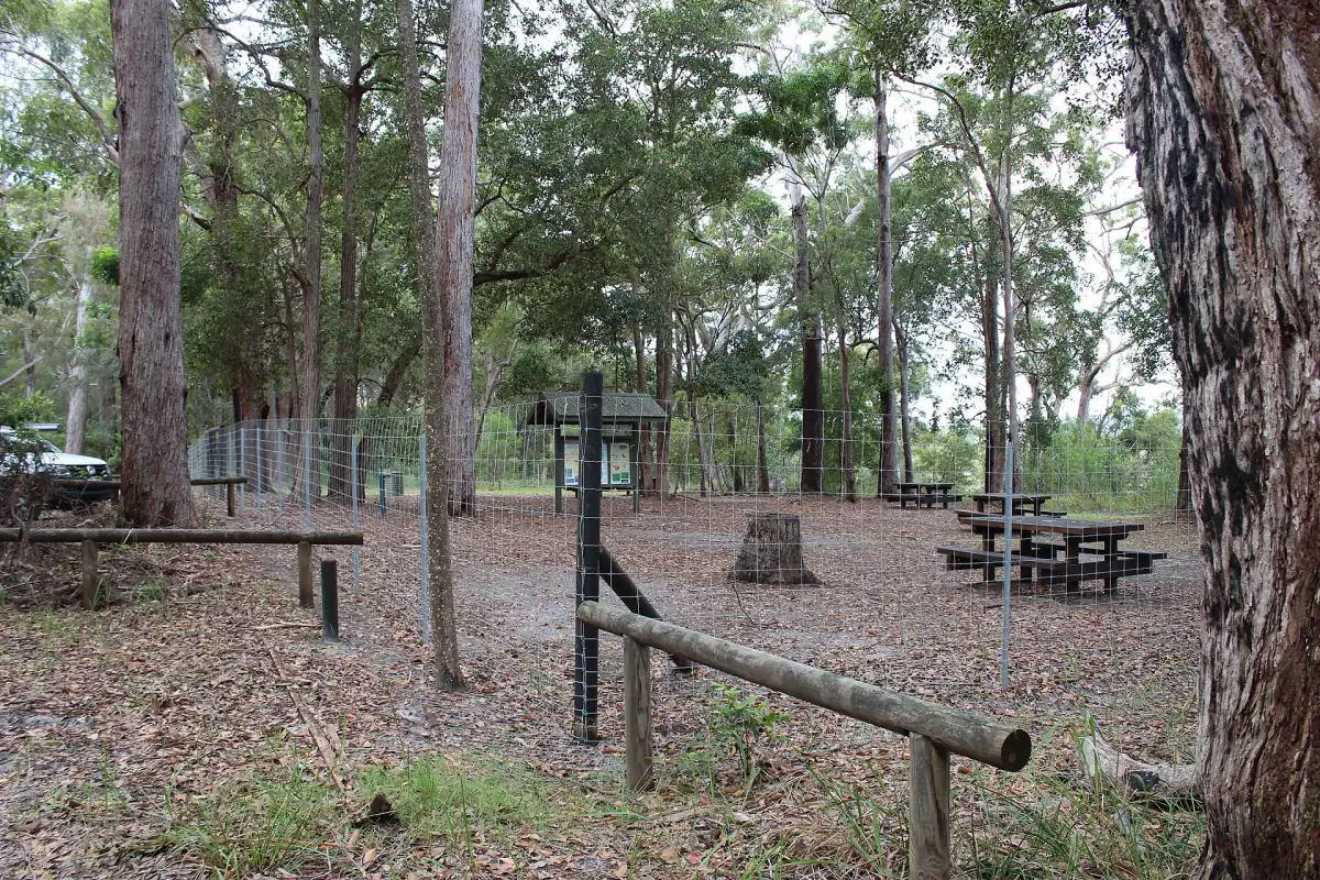
Camping on K'gari
Fenced campgrounds, beach zones and fees.
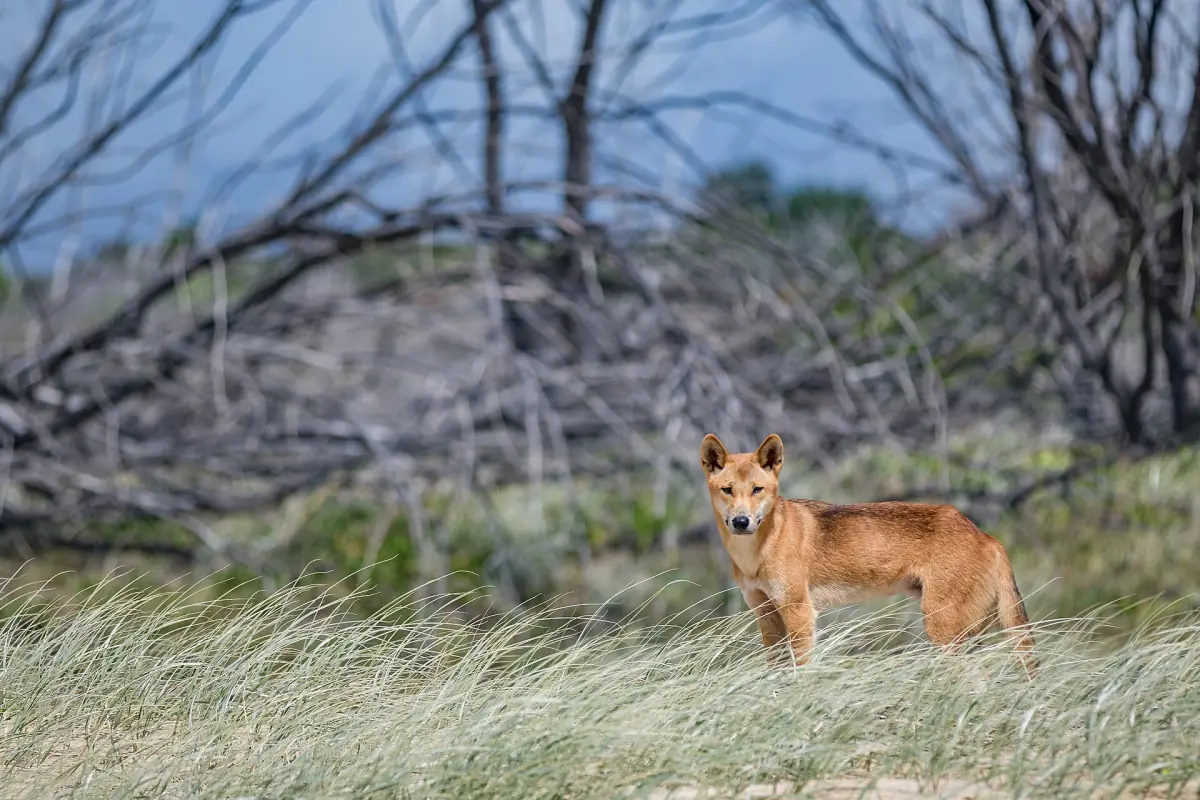
Dingoes
Rules and fines for staying safe.
Weather by month
Temperatures and rainfall through the year.
Where to stay
Resorts, camping or the mainland.
Things to do on K'gari: frequently asked questions
What is the best thing to do on K'gari?
That depends on what you like. Lake McKenzie suits swimming, Eli Creek suits a short float, and the Pile Valley circuit suits a rainforest walk. The 12 places above are an editorial selection, not a ranking.
How many days do you need?
A guided day trip covers the main highlights. Two days leave time for the lakes and the beach at a slower pace. If you drive yourself, plan extra time for the ferry and the tide windows.
Do you need a 4WD to see the sights?
Yes, for self-driving. Sand tracks need a high-clearance 4WD with low range, and all-wheel drive is not recommended. Without one, take a guided tour on a 4WD bus.
Is there an entry fee for the island?
Costs come from the vehicle access permit, camping, the ferry and any booked tour. The permit for K'gari is A$61.80 for up to 1 month and A$311 for up to 1 year in 2026.
Can you climb Indian Head?
No. The walking track is closed because of severe erosion, and the alert runs to 18 November 2026. Check the current alert before you plan around it.
Can you swim in the ocean?
The park service advises against it. Beaches are not patrolled, currents are strong, and sharks and marine stingers are present. Use the freshwater lakes and creeks instead, and follow the warnings at each one.